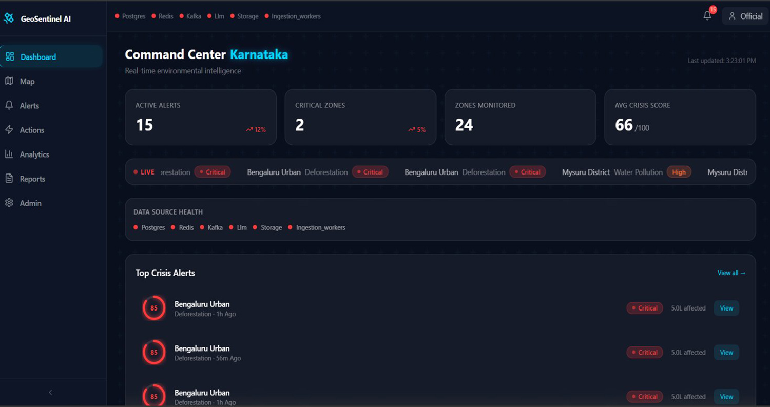
 GeoSentinel AI is an AI-powered platform designed to monitor and prevent environmental
challenges in Karnataka through real-time, data-driven intelligence.
GeoSentinel AI is an AI-powered platform designed to monitor and prevent environmental
challenges in Karnataka through real-time, data-driven intelligence.
The system integrates data from satellites, weather sources, government datasets, IoT
sensors, and citizen reports into a unified platform, creating a live digital twin of
Karnataka’s environment. It continuously tracks key indicators such as forest cover,
lake health, groundwater levels, air quality, and urban heat.
An AI prediction engine analyzes this data to identify risks early—for example,
forecasting lake pollution, groundwater depletion, or ecological stress zones before
they reach critical levels. A citizen reporting feature enables people to upload images
or reports of environmental issues, which are validated using AI and fused with
satellite data for improved accuracy.
GeoSentinel includes a prioritization layer that ranks environmental risks based on
severity, impact, and data reliability, ensuring that decision-makers focus on the most
critical issues. Beyond alerts, the system generates ready-to-use action plans, reports,
and summaries, enabling faster and more effective responses.
A built-in feedback mechanism tracks outcomes of interventions, allowing the system to
continuously learn and improve. Additionally, it provides cost and policy insights,
helping authorities understand the economic impact of immediate versus delayed
action.
The project is designed to begin with a focused implementation and scale into a
comprehensive environmental intelligence system.